Site Navigation
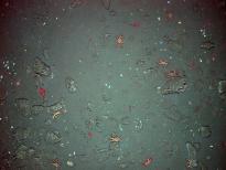
Macrofauna in vicinity of Hydrate Ridge
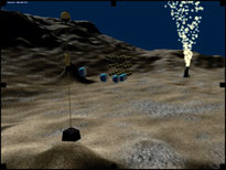
Conceptualized image of robo-fish
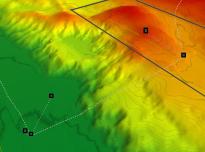
Hydrate Ridge (highlighted in red) on the continental shelf will be the site of secondary and experimental nodes on the Regional Scale Nodes.
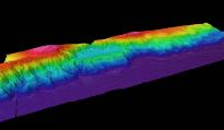
Node 1 on EM300 map
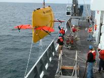
Sentry Recovery
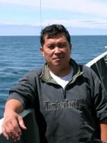
Mario Yordan
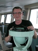
Larry Branovitch
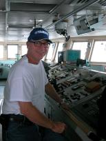
Tom Drake
Phil Smith
Daniel Govig
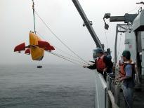
Sentry Deployment
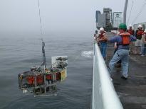
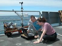
Tow Cam Deployment
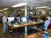
Scientists working in the main lab
Dan Fornari, TowCam Developer
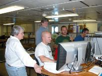
Collaborative effort to process the EM-300 sonar data in the main lab.
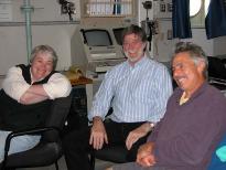
Chief Scientists Deb Kelley and John Delaney; TowCam developer Dan Fornari
Stephanie Harrington
Shari Hodge
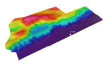
EM300 map of sediment channels on abyssal plain (purple)
William Brune